New Mapping Tool Shows Flooding Risk Across North Dakota
The tool is intended to help people make informed decisions about flood protection.
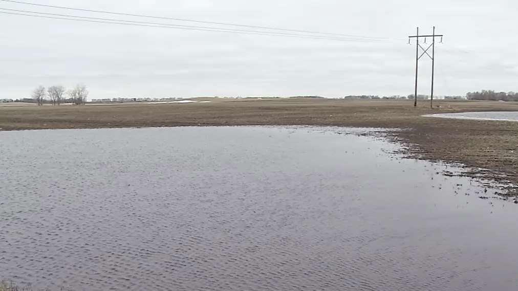
BISMARCK, N.D.–The North Dakota Water Commission has unveiled a new interactive mapping tool that provides information on potential flooding in the state. State risk map coordinator Laura Horner says the map shows where flooding might occur and to what extent it could happen in various scenarios. The North Dakota Risk Assessment Mapservice was on display Wednesday at the Bismarck Event…