NDDOT adds snowplow tracker to its travel map
BISMARCK, N.D. (KVRR-KFGO) – The North Dakota Department of Transportation has rolled out new features on its travel map.
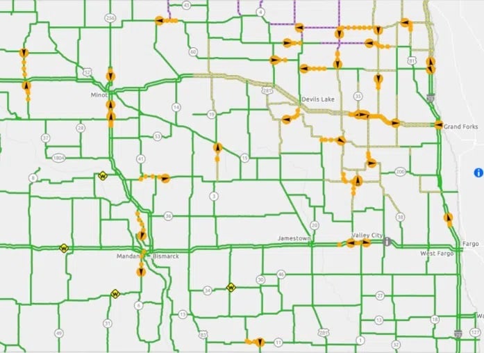
Users can now see each snowplow’s location and view dashcam pictures with timestamps and location information, providing a view of current conditions all across North Dakota.
Previously, only one-third of the 352 snowplows could share location data, but all plows are being upgraded this winter.
The NDDOT added a ‘snowplows’ layer to the map legend. They say the map upgrades also make it easier to see highway numbers.
A link to LoadPass permits has been added for commercial drivers.
You can view travel information maps using the links below: